 |
|
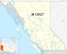
Kemess Creek Airport, (TC LID: CBQ7), is located near Kemess Mine, British Columbia, Canada.
| Kemess Creek Airport |
- IATA: none
- ICAO: none
- TC LID: CBQ7
|
| Summary |
| Airport type |
Private |
| Operator |
AuRico Gold Inc. Kemess Mine |
| Location |
Kemess Mine, British Columbia |
| Time zone |
PST (UTC-08:00) |
| Summer (DST) |
PDT (UTC-07:00) |
| Elevation AMSL |
4,191 ft / 1,277 m |
| Coordinates |
56°58′28″N
126°44′27″W |
| Map |
|
Location in British Columbia
|
| Runways |
| Direction |
Length |
Surface |
| ft |
m |
11/29 |
4,671 |
1,424 |
Gravel |
|
|
Source: Canada Flight Supplement |
The above content comes from Wikipedia and is published under free licenses – click here to read more.
The content above was published at Airports-Worldwide.com in 2018.
We don't guarantee the information is fresh and accurate. The data may
be wrong or outdated.
For more up-to-date information please refer to other sources.
|
|


