|
 |
|
||||
|
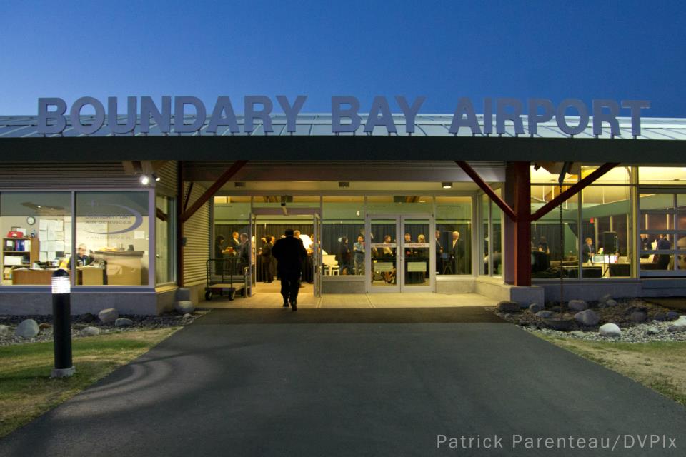
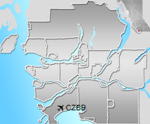
Boundary Bay Airport or Vancouver/Boundary Bay Airport (IATA: YDT, ICAO: CZBB) is located beside Boundary Bayand 2.5 nautical miles (4.6 km; 2.9 mi) east of Ladner in Delta, British Columbia, Canada, 8.5 NM (15.7 km; 9.8 mi) south southeast of Vancouver and close to the U.S. border. The airport, which opened 11 July 1983, serves mostly general aviation and includes facilities for aircraft maintenance, flight training, parking, and air traffic control training. Boundary Bay is Canada’s fifth busiest airport by total aircraft movements, and the country’s busiest general aviation airport. It is the location of the former Canadian Forces Station Ladner. In December 2004, Boundary Bay Airport was acquired by Alpha Aviation. In April 2008, Alpha Aviation established a Fixed-Base Operation (FBO) and Alpha Executive Air began operating regularly scheduled flights twice daily between Boundary Bay Airport and Victoria International Airport on Vancouver Island, as well as charter service using turbine pressurized aircraft. Many smaller airlines use Boundary Bay Airport’s maintenance facilities. As of 2010, Alpha Executive Air ceased operations but Boundary Bay Air Services — Vancouver FBO is open serving business, corporate, and general aviation customers. The airport is classified as an airport of entry by Nav Canada and is staffed by the Canada Border Services Agency(CBSA). CBSA officers are available on call to handle entry for general aviation aircraft carrying no more than 15 passengers.
History
Following the closure of Canadian Forces Station Ladner, the site was used by the community of Ladner for picnics, public fairs and auto racing. When it became apparent that Vancouver International Airport could no longer sustain general aviation and commercial traffic, Transport Canada proposed reactivating Boundary Bay for general aviation. The airport underwent restoration, and on July 11, 1983 two of the three runways were reopened as Boundary Bay Airport. The other runway and some ramp space was made available for driver training and other events. Alpha Aviation acquired the Boundary Bay Airport and assumed management on 1 December 2004, under a lease currently held by the Corporation of Delta. Shortly thereafter, under the terms of the lease, driver training, auto-X and drag racing were removed from the airport, allowing Alpha Aviation to focus on runway, facility and land-use improvements. Investment by Alpha Aviation and a grant from the British Columbia government enabled an extension of runway 07/25, improving usability of the runway for corporate jets. The upgrades mean that Boundary Bay Airport may now be included as a prime alternative landing destination to Vancouver International Airport (YVR). A new maintenance hangar at the airport is now complete, and the old maintenance hangar has been declared a Heritage site. Space is available on a lease basis in the Heritage hangar for aircraft storage. In January 2008, Boundary Bay Airport’s largest tenant, Heli-One, a division of CHC Helicopter moved into new facilities at Boundary Bay Airport. A 250,000 sq ft (23,000 m2) building was constructed to provide repair and maintenance services. Other maintenance facilities include Canada West Avionics, Halcyon Aviation, R & Z Avionics and Safari Express Aircraft Maintenance. In February 2010, Alpha Aviation opened the new terminal just off taxiway «C». This new facility offers facilities for general aviation and private aircraft, with services run by Alpha Aviation. The new facility will allow Boundary Bay Airport to accommodate regional airlines. In 2011, the Corporation of Delta extended Alpha Aviation’s lease until 2099. Alpha Aviation Logo Boundary Bay Air Services Logo Fixed-Base Operator (FBO)As of June 2014 only one FBO operates at Boundary Bay Airport:
Flight trainingThere are several organizations that offer flight training at the airport:
Fuel servicesFuel services at CZBB are run by Alpha Aviation, marketing Epic Aviation LLC branded fuels. Fuels available:
Fuel System Icing Inhibitor and oil are also available.
The content above was published at Airports-Worldwide.com in 2019.
|
|||||||||||||||||||||||||||||||||||||||||||||||||||||||||||||||||||||||||||||||||||||||||||||||||||||||||||||||||||||||||||||||||||||||||||||||||||||||||||||||||||||||||||||||||||||||||||||||||||||||||||||||||||||||||||||

 |
|
Copyright 2004-2024 © by Airports-Worldwide.com, Vyshenskoho st. 36, Lviv 79010, Ukraine Legal Disclaimer |