|
|
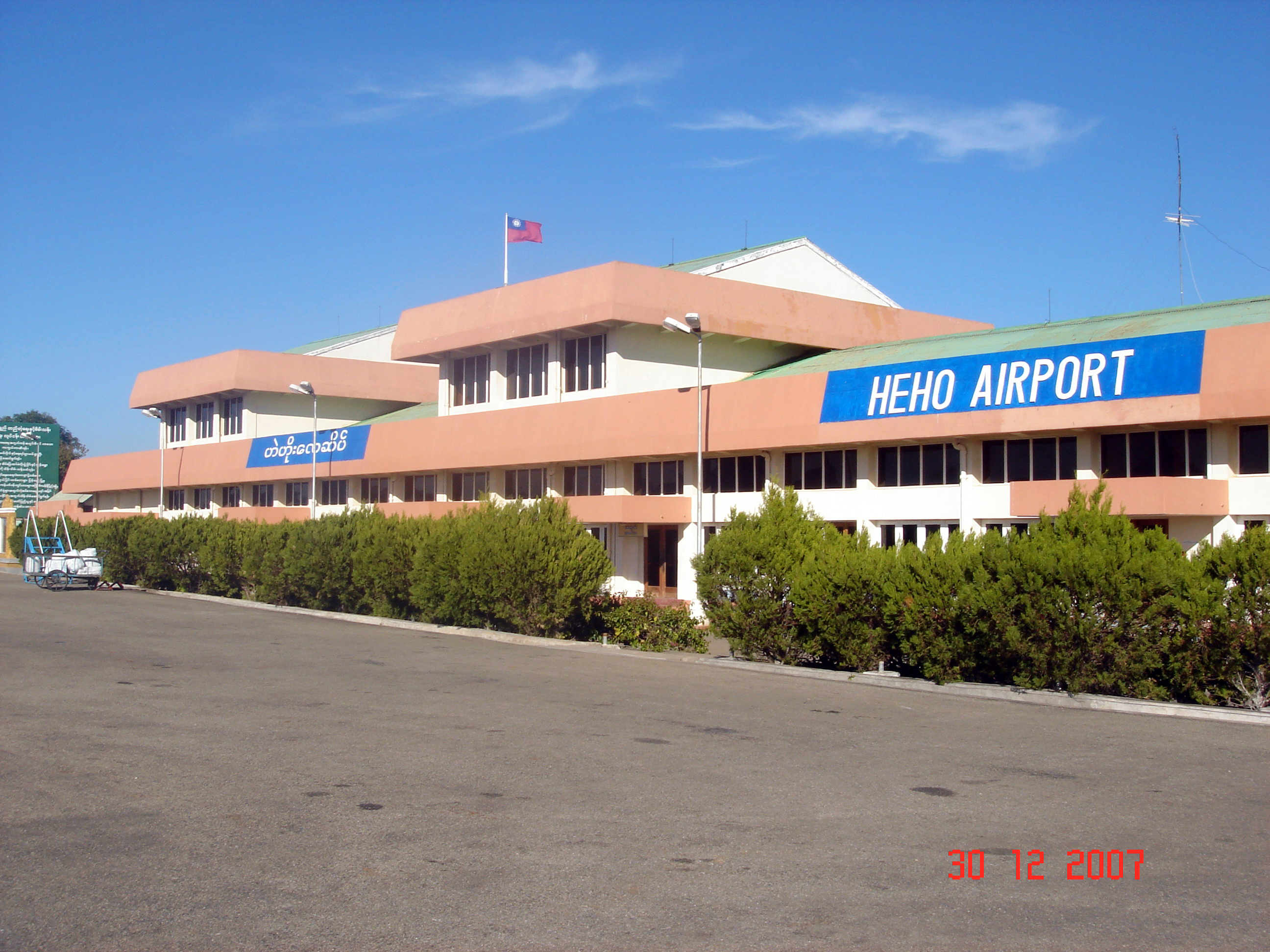
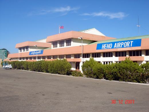
Heho Airport
ဟဲဟိုးလေဆိပ် |
 |
| IATA: HEH – ICAO: VYHH |
| Summary |
| Airport type |
Public |
| Operator |
Government |
| Serves |
Heho, Myanmar (Burma) |
| Elevation AMSL |
3,858 ft / 1,176 m |
| Coordinates |
20°44′49″N 096°47′31″E / 20.74694°N 96.79194°E / 20.74694; 96.79194 |
| Runways |
| Direction |
Length |
Surface |
| ft |
m |
| 18/36 |
8,500 |
2,591 |
Asphalt |
| Sources: |
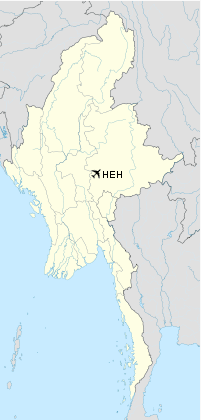
Heho Airport (Burmese: ဟဲဟိုးလေဆိပ်; (IATA: HEH, ICAO: VYHH) is an airport serving Heho, a town in Kalaw Township, Taunggyi District, Shan State, Myanmar (Burma).
History
The airport served as an airbase both for the Allies and the Japanese during World War II. The airbase was heavily bombed by the Allies. Evidence of aircraft bunker revetments and bomb craters can still be seen on the southern end of the airfield, especially noticeable from the air.
Facilities
The airport resides at an elevation of 3,858 feet (1,176 m) above mean sea level. It has one runway designated 18/36 with an asphalt surface measuring 8,500 by 100 feet (2,591 × 30 m). The original airport had a runway length of 5500 feet. It was recently expanded to accommodate jet aircraft.
Airlines and destinations
- Air Bagan (Mandalay, Thandwe, Yangon)
- Air Mandalay (Mandalay, Nyaung-u, Thandwe, Yangon)
- Myanma Airways (Kengtung, Lashio, Mong Hsat, Nyaung-u, Tachilek, Yangon)
- Yangon Airways (Mandalay, Thandwe, Yangon)
The above content comes from Wikipedia and is published under free licenses – click here to read more.
| General Info
|
| Country |
Burma
|
| ICAO ID |
VYHH
|
| Time |
UTC+6:30
|
| Latitude |
20.747036
20° 44' 49.33" N
|
| Longitude |
96.792044
096° 47' 31.36" E
|
| Elevation |
3858 feet
1176 meters
|
| Magnetic Variation |
000° W (05/06)
|
| Beacon |
Yes
|
| Operating Agency |
CIVIL GOVERNMENT, (LANDING FEES AND DIPLOMATIC CLEARANCE MAY BE REQUIRED)
|
| Communications
|
TWR
HO
|
118.1
|
APP
HO
|
119.7
|
| Runways
|
| ID |
Dimensions |
Surface |
PCN |
ILS
|
| 18/36 |
8500 x 100 feet
2591 x 30 meters |
ASPHALT |
- |
NO
|
| Navaids
|
| Type |
ID |
Name |
Channel |
Freq |
Distance From Field |
Bearing From Navaid
|
| NDB |
HHO |
HEHO |
- |
360 |
At Field |
-
|
| Remarks
|
| CAUTION |
WIP.
|
| CSTMS/IMG |
Opr HO.
|
| FUEL |
(NC-A).
|
| LGT |
Rot Bcn opr HO. Thld lgt avbl.
|
| MISC |
Ldg fees.
|
| OPR HOURS |
Opr HO.
|
The content above was published at Airports-Worldwide.com in 2010.
We don't guarantee the information is fresh and accurate. The data may be wrong or outdated.
For more up-to-date information please refer to other sources.
|
|