|
|
Zumbi Dos Palmares Airport |
Maceió-Zumbi dos Palmares International Airport
Aeroporto Internacional Maceió-Zumbi dos Palmares |
| [[Image:
|220px]] |
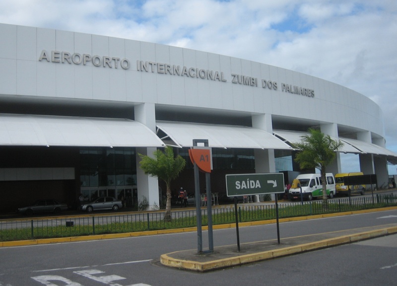
| Aeroporto Internacional Zumbi dos Palmares entrance photographed 2007 |
| IATA: MCZ – ICAO: SBMO |
| Summary |
| Airport type |
Public |
| Operator |
Infraero |
| Serves |
Maceió |
| Elevation AMSL |
118 m / 347 ft |
| Coordinates |
09°30′38.91″S 035°47′30.04″W / 9.5108083°S 35.7916778°W / -9.5108083; -35.7916778 |
| Website |
Infraero MCZ |
| Runways |
| Direction |
Length |
Surface |
| m |
ft |
| 12/30 |
2602 |
8537 |
Asphalt |
| Statistics (2009) |
| Passengers |
1,117,250 |
| Aircraft Operations |
15,038 |
| Metric tonnes of cargo |
3,395 |
Statistics: Infraero
Sources: Airport Website |
Zumbi dos Palmares International Airport (IATA: MCZ, ICAO: SBMO) is an international airport serving Maceió in Brazil. The airport has connections to several major airports in Brazil and international connections to Milan in Italy and Buenos Aires in Argentina. Airlines and destinations
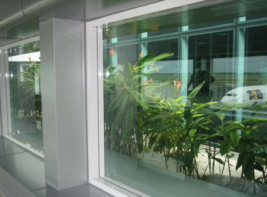 | |
View from passenger lounge through plantings to inter-gate concourse and aircraft ramps. Photographed 2007. |
| Airlines |
Destinations |
| Air Italy |
Milan-Malpensa, Rome-Fiumicino |
| Azul Brazilian Airlines |
Aracaju, Campinas-Viracopos |
| Gol Airlines |
Aracaju, Belo Horizonte-Confins, Buenos Aires-Ezeiza, Rio de Janeiro-Galeão, Salvador da Bahia, São Paulo-Congonhas, São Paulo-Guarulhos |
| Noar Linhas Aéreas |
Aracaju, Recife |
| TAM Airlines |
Aracaju, Belo Horizonte-Confins, Brasília, Fortaleza, Navegantes, Recife, Rio de Janeiro-Galeão, Salvador da Bahia, São Paulo-Congonhas, São Paulo-Guarulhos |
Accident
12 July 1951: a Lóide Aéreo Nacional Douglas DC-3/C-47 registration PP-LPG, which was still registered under LAP, flying from Maceió to Aracaju, after aborting a landing in adverse conditions in Aracaju, overflew the runway and initiated a turn in low altitude to the right. The aircraft crashed during this turn. All 33 passengers and crew died.
The above content comes from Wikipedia and is published under free licenses – click here to read more.
| General Info
|
| Country |
Brazil
|
| ICAO ID |
SBMO
|
| Time |
UTC-3(-2DT)
|
| Latitude |
-9.510808
09° 30' 38.91" S
|
| Longitude |
-35.791678
035° 47' 30.04" W
|
| Elevation |
387 feet
118 meters
|
| Type |
Civil
|
| Magnetic Variation |
022° W (01/06)
|
| Beacon |
Yes
|
| Operating Agency |
CIVIL GOVERNMENT, (LANDING FEES AND DIPLOMATIC CLEARANCE MAY BE REQUIRED)
|
| Alternate Name |
CAMPO DOS PALMARES
|
| Near City |
Maceio
|
| Operating Hours |
24 HOUR OPERATIONS
|
| Communications
|
| MACEIO TWR |
118.25
|
| MACEIO APP |
119.25
|
| Runways
|
| ID |
Dimensions |
Surface |
PCN |
ILS
|
| 12/30 |
8537 x 148 feet
2602 x 45 meters |
ASPHALT |
046FAXT |
YES
|
| Navaids
|
| Type |
ID |
Name |
Channel |
Freq |
Distance From Field |
Bearing From Navaid
|
| VOR-DME |
MCE |
ZUMBI |
098X |
115.1 |
At Field |
-
|
| NDB |
MCO |
MACEIO |
- |
340 |
At Field |
-
|
| Supplies/Equipment
|
| Fuel |
Jet A1, without icing nhibitor.
100/130 octane gasoline, leaded, MIL-L-5572F (GREEN)
|
| Remarks
|
| CAUTION |
Bird haz vcnty FNA rwy 12.
|
| FUEL |
Avbl 0800-0130Z++. (NC-100, A1)
|
| LGT |
Rwy 12 TD pt IMO ILS and VASI not coincident and separated 167'. VASI Rwy 12 MEHT 45'.
|
| MISC |
Flt pln acpt by phone.
|
The content above was published at Airports-Worldwide.com in 2010.
We don't guarantee the information is fresh and accurate. The data may be wrong or outdated.
For more up-to-date information please refer to other sources.
|
|