|
 |
|
||||
|
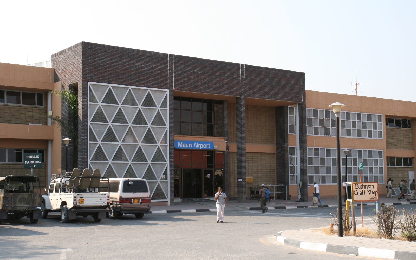
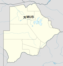
Maun Airport (IATA: MUB, ICAO: FBMN) is an international airport serving the town of Maun in the North-West District of Botswana. It is on the north side of the town and is accessible by shuttle bus or taxi. Maun Airport serves as the main gateway to the Okavango Delta and the Moremi Game Reserve. Many tour operators offer chartered flights over the Delta and to Botswana destinations such as the Makgadikgadi Pans, one of the largest seasonal wetlands in Africa. There are also daily scheduled flights to destinations in Botswana and South Africa. Wilderness Air operates regular charter flights from its Windhoek-Eros-hub, Namibia to Maun. The Maun VOR-DME (Ident: MNV) is located 1.66 nautical miles (3.07 km) off the approach threshold of Runway 08, south of centerline. The Maun non-directional beacon (Ident: MN) is located on the field.
Early history 1925-1939The aircraft were awaited as they brought news of the outside world, mail, medicines, foodstuffs, and above all, new people to a community hundreds of kilometres from the nearest big town. The first planes to land here were before World War II – in the 1930s, just a mere 30 or so years after the Wright brothers made their historic first flight at Kitty Hawk, North Carolina. The landing strip was then what is today Maun’s main street, the strip later being moved away from the town centre to the present site of the airport. The earliest known flights over the Okavango took place in July 1925, and were part of a survey of rivers in the region, using aircraft based in Livingstone. Two Airco D.H. 9 type, numbers 142 and 144 of the then Union Defense Force of South Africa, were used, piloted by Capt. C.W. Meredith and Lieut. L. Tasker. They routed to Livingstone from Johannesburg via Bulawayo. Airlink commenced direct flights between Cape Town and Maun since March 2016. In October 2016, Air Namibia suspended scheduled flights to Maun airport. In May 2018 government officials confirmed their commitment to refurbish and upgrade the existing airport building.
Airlines and destinations
AccidentsIn March 2000 a Cessna 414 crashed on its way from Gaborone to Maun. The pilot and a passenger walked for over 200 kilometres (120 mi) to find help.
The above content comes from Wikipedia and is published under free licenses – click here to read more.
The content above was published at Airports-Worldwide.com in 2019. |
|||||||||||||||||||||||||||||||||||||||||||||||||||||||||||||||||||||||||||||||||||||||||||||||||||||||||||||||||||||||||||||||||||||||||||||||||||||||||||||||||||||

 |
|
Copyright 2004-2026 © by Airports-Worldwide.com, Vyshenskoho st. 36, Lviv 79010, Ukraine Legal Disclaimer |