|
|
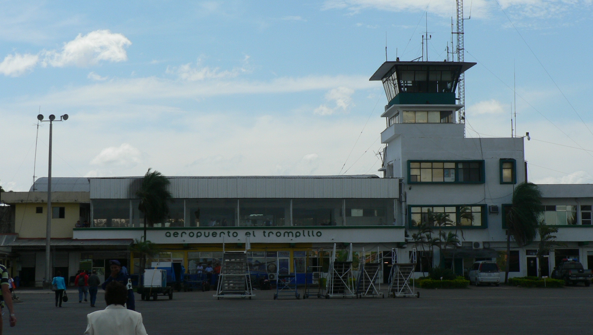
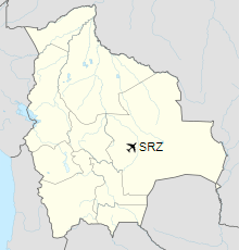
El Trompillo Airport (IATA: SRZ, ICAO: SLET) is located in the south part of Santa Cruz, Bolivia, about 2 km (1.25 miles) away from the central plaza.
|
El Trompillo Airport
|
|
|
|
| Summary |
| Airport type |
Public / Military |
| Serves |
Santa Cruz, Bolivia |
| Elevation AMSL |
1,371 ft / 418 m |
| Coordinates |
17°48′41″S
063°10′17″W |
| Map |
Location of airport in Bolivia
|
| Runways |
| Direction |
Length |
Surface |
| m |
ft |
| 15/33 |
2,787 |
9,144 |
Asphalt |
|
Creation
It was created in 1920 with a lane that measured no more than 800 meters (2,624 feet). The airport was given the name of “Captain Horacio Vasquez” honoring a pilot who died in an accident flying from Argentina to La Paz. Nevertheless, because of the location, the airport with time was known as “El Trompillo”. For the first 65 years, it was the only airport in the city, until in 1984 the international airport of Viru Viru was constructed. Since then it has only operated local flights and the landing and departure of students of the Bolivian Air Force.
The first airlines to use this airport were Lloyd Aéreo Boliviano, known as LAB, and Panagra. About 70 departures and arrivals of the Air Force, and small and large airlines are registered. For a while, from 1980 to 1985, the amount of airplanes registered increased due to a combat against drug traffic.
As of 2019, there is currently no commercial passenger flights since the national carrier Transporte Aéreo Militar ceased operations.
Facilities
Aerocon had its head office in Hangar 93.
Incidents
- On July 29, 1961, a Lockheed Constellation, registered N2520B to Lloyd Airlines from Miami, Florida (not to be confused with Lloyd Aereo Boliviano) was intercepted by the Bolivian Air Force after taking off from El Trompillo. The Lockheed Constellation tried to get away but was forced to return to El Trompillo after a chase, which resulted in the death of BAF pilot Alberto Peredo Cespedes, whose Mustang PF-51 plane crashed at Cicumvalacion avenue during the pursuit. The four people in the Constellation were arrested, accused of contraband and homicide, later released on bond and escaped. The Constellation remained in Bolivia, and was later used by Aerosur and Pepsi for advertising purposes. The incident became known as the «Pirate Airplane Incident». (in Spanish)
The above content comes from Wikipedia and is published under free licenses – click here to read more.
| General Info
|
| Country |
Bolivia
|
| ICAO ID |
SLET
|
| Time |
UTC-4
|
| Latitude |
-17.811581
17° 48' 41.69" S
|
| Longitude |
-63.171481
063° 10' 17.33" W
|
| Elevation |
1371 feet
418 meters
|
| Type |
Joint (Civil and Military)
|
| Magnetic Variation |
009° W (05/06)
|
| Operating Agency |
MILITARY - CIVIL JOINT USE AIRPORT
|
| Near City |
Santa Cruz
|
| Operating Hours |
SUNRISE TO SUNSET (SR-SS)
|
| Communications
|
| TROMPILLO TWR |
118.3
|
SANTA CRUZ RDO
127.1 opr 24hr. Others SR/SS
|
127.1
3425
5562
6622
8912
|
| GND |
121.7
|
VIRU VIRU APP
Opr 24hr
|
119.7
|
| Runways
|
| ID |
Dimensions |
Surface |
PCN |
ILS
|
| 15/33 |
9144 x 124 feet
2787 x 38 meters |
ASPHALT |
048FCXU |
NO
|
| Navaids
|
| Type |
ID |
Name |
Channel |
Freq |
Distance From Field |
Bearing From Navaid
|
| NDB |
TCZ |
EL TROMPILLO |
- |
265 |
At Field |
-
|
| Supplies/Equipment
|
| Fuel |
Jet A1, without icing nhibitor.
|
| Remarks
|
| FUEL |
(NC- 100LL,A1)
|
| OPR HOURS |
Opr SR-SS.
|
| RSTD |
After tkof fr Rwy 15-33 maint rwy hdg til 500' AGL before beginning turns. Acft should maint best rate of climb on tkof and climbout. Ovft of city not auth blw 2600' exc dur tkof and ldg.
|
The content above was published at Airports-Worldwide.com in 2019.
We don't guarantee the information is fresh and accurate. The data may be wrong or outdated.
For more up-to-date information please refer to other sources.
|
|