|
|
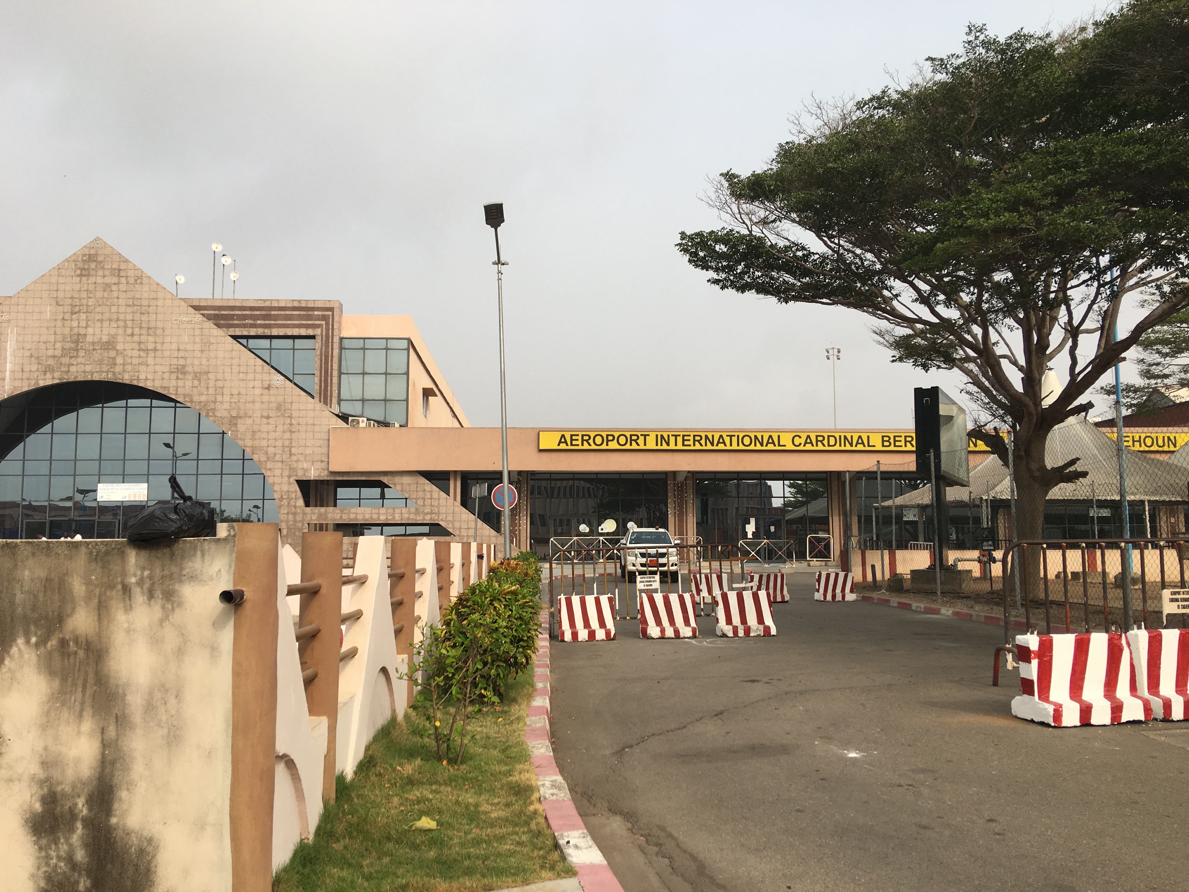
Cotonou Cadjehoun Airport (IATA: COO, ICAO: DBBB) is an airport in the Cadjehoun neighborhood of Cotonou, the largest city in Benin, in West Africa. The airport is the largest in the country, and as such, is the primary entry point into the country by air, with flights to Africa and Europe.
The Cotonou VOR-DME (Ident: TYE) is on the field. The Cotonou non-directional beacon (Ident: CO) is located 2.6 kilometres (1.4 nautical miles) northeast of the airport.
The airport is named after cardinal Bernardin Gantin.
|
Cardinal Bernadin Gantin International Airport
Cotonou Cadjehoun Airport
|
|
|
|
| Summary |
| Serves |
Cotonou |
| Hub for |
Rwandair |
| Elevation AMSL |
6 m / 19 ft |
| Coordinates |
6°21′21″N 2°23′06″E |
| Website |
aeroport-cotonou.com |
| Map |
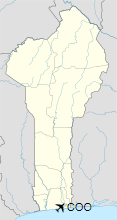
Location of Airport in Benin
|
| Runways |
| Direction |
Length |
Surface |
| m |
ft |
| 06/24 |
2,400 |
7,874 |
Asphalt |
|
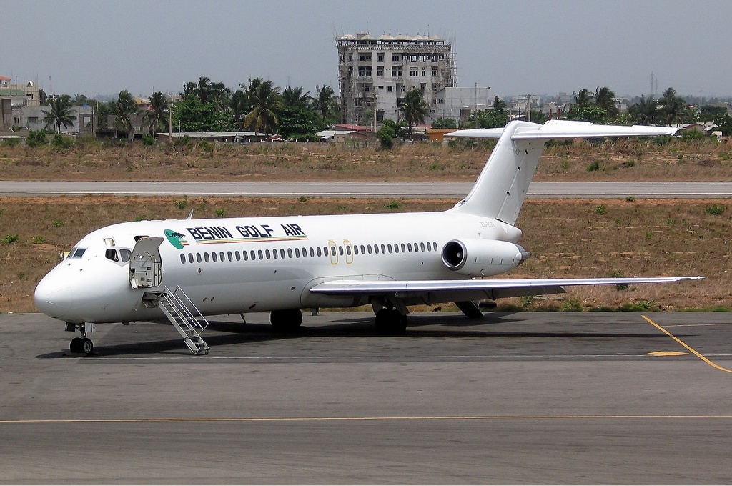
Airlines and destinations
Passenger
| Destinations |
| Air Bénin Taxi |
Parakou |
| Air Burkina |
Lomé, Ouagadougou |
| Air Côte d’Ivoire |
Abidjan, Libreville |
| Air France |
Paris–Charles de Gaulle |
| Air Senegal |
Dakar–Diass |
| ASKY Airlines |
Lomé, Ouagadougou |
| Brussels Airlines |
Abidjan, Brussels |
| Camair-Co |
Douala, Lagos |
| CEIBA Intercontinental |
Dakar–Diass, Malabo |
| Cronos Airlines |
Bata, Malabo |
| Ethiopian Airlines |
Addis Ababa |
| Mauritania Airlines |
Bamako, Brazzaville, Nouakchott |
| Overland Airways |
Lagos |
| Royal Air Maroc |
Casablanca |
| RwandAir |
Abidjan, Bamako, Brazzaville, Conakry, Dakar–Diass, Douala, Kigali, Libreville |
| Trans Air Congo |
Brazzaville, Libreville, Pointe-Noire |
| Tunisair |
Tunis |
| Turkish Airlines |
Istanbul |
Cargo
| Destinations |
| Allied Air |
Lagos, Libreville |
| Air France Cargo |
Paris–Charles de Gaulle |
Statistics
Traffic by calendar year. Official ACI Statistics
| |
Passengers |
Change from previous year |
Aircraft operations |
Change from previous year |
Cargo
(metric tons) |
Change from previous year |
| 2007 |
401,073 |
+20.79% |
9,274 |
+13.96% |
5,772 |
+36.94% |
| 2008 |
394,444 |
- 1.65% |
9,915 |
+ 6.91% |
10,091 |
+74.83% |
| 2009 |
391,318 |
- 0.79% |
10,209 |
+ 2.97% |
8,081 |
-19.92% |
| 2010 |
406,491 |
+ 3.88% |
11,604 |
+13.66% |
6,047 |
-25.17% |
| 2011 |
432,500 |
+ 6.40% |
N.D. |
N.D. |
6,829 |
+12.93% |
| 2012 |
481,389 |
+11.30% |
N.D. |
N.D. |
6,959 |
+ 1.90% |
| 2013 |
470,068 |
- 2.35% |
11,876 |
N.D. |
6,506 |
- 6.51% |
| 2014 |
503,633 |
+7.14% |
11,855 |
- 0.18% |
7,995 |
+22.89% |
Source: Airports Council International. World Airport Traffic Reports
(Years 2005, 2006, 2007, 2009, 2011, 2012, 2013, and 2014) |
Incidents and accidents
- UTAGE Flight 141: On 25 December 2003, the airplane crashed in the Bight of Benin, killing 151 of the 163 occupants, most of them Lebanese.
Replacement
In 1974, it was decided to move the operations of the Cotonou international airport to a new facility in Glo-Djigbé. Lack of funding quickly stopped the project.
Plans were revived in 2011 and President Yayi Boni presided at a ceremonial start to the construction of the new airport, using South African funding. Construction on the new facility appears to have stalled again.
Meanwhile, improvements to the Cotonou airport were initiated.
The above content comes from Wikipedia and is published under free licenses – click here to read more.
| General Info
|
| Country |
Benin
|
| ICAO ID |
DBBB
|
| Time |
UTC+1
|
| Latitude |
6.357228
06° 21' 26.02" N
|
| Longitude |
2.384353
002° 23' 03.67" E
|
| Elevation |
19 feet
6 meters
|
| Type |
Joint (Civil and Military)
|
| Magnetic Variation |
003° W (05/06)
|
| Operating Agency |
MILITARY - CIVIL JOINT USE AIRPORT
|
| Alternate Name |
COTONOU
|
| Near City |
Cotonou
|
| International Clearance Status |
Airport of Entry
|
| Communications
|
| TWR |
125.9
118.7
|
| APP |
125.9
|
| A/G VOICE RDO |
6586
|
| Runways
|
| ID |
Dimensions |
Surface |
PCN |
ILS
|
| 06/24 |
7874 x 148 feet
2400 x 45 meters |
ASPHALT |
053FBXT |
YES
|
| Navaids
|
| Type |
ID |
Name |
Channel |
Freq |
Distance From Field |
Bearing From Navaid
|
| VOR-DME |
TYE |
COTONOU |
080X |
113.3 |
At Field |
-
|
| NDB |
CO |
COTONOU |
- |
284 |
1.4 NM |
237.7
|
| Supplies/Equipment
|
| Fuel |
Jet A1, without icing nhibitor.
100/130 octane gasoline, leaded, MIL-L-5572F (GREEN)
|
| Remarks
|
| FUEL |
Avbl 0600-1400Z, OT O/R 2 hr. (NC-100LL, A1)
|
The content above was published at Airports-Worldwide.com in 2020.
We don't guarantee the information is fresh and accurate. The data may be wrong or outdated.
For more up-to-date information please refer to other sources.
|
|