|
|
Philip S W Goldson Intl Airport |
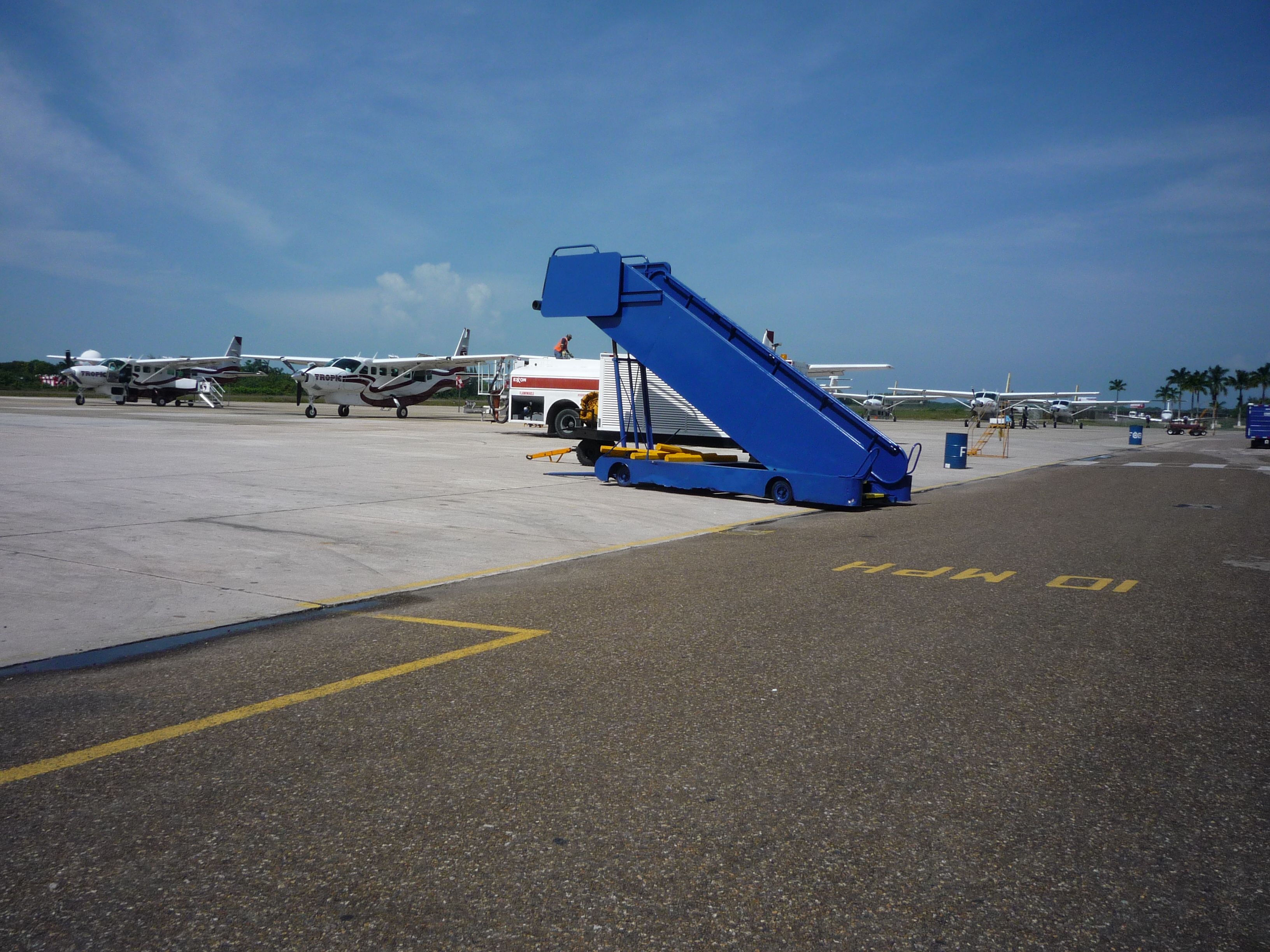
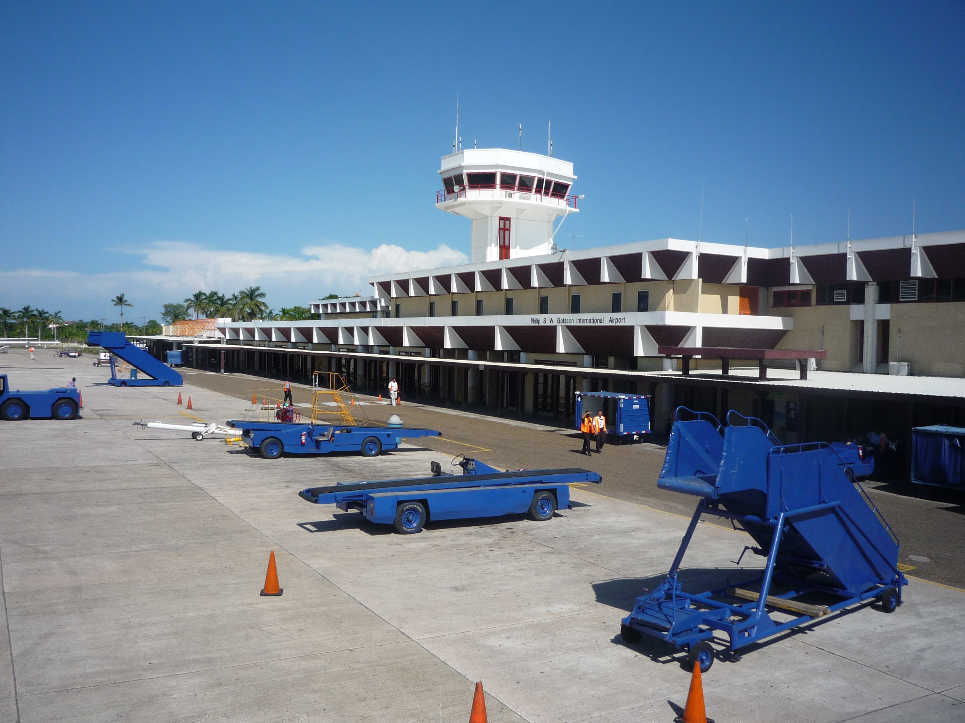
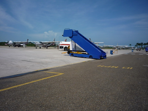
Philip S. W. Goldson International Airport (IATA: BZE, ICAO: MZBZ) is an airport that serves the nation of Belize’s largest city, Belize City along the eastern coast of Central America. It was named after politician Philip Stanley Wilberforce Goldson, who died in 2001. Philip S. W. Goldson International Airport is about 30 minutes drive from Belize City’s centre, in Ladyville. The airport is at an elevation of 5 m (16 ft) and this means both the airport and the entirety of Belize City are at risk of serious flooding due to its low elevation and coastal location. For this reason, Belize’s capital has been moved to Belmopan, but it remains the largest and busiest in the country. With stable passenger growth, Philip S. W. Goldson International Airport is currently the seventh busiest airport in Central America.
|
Philip S. W. Goldson International Airport
|
|
|
|
| Summary |
| Airport type |
Public |
| Serves |
Belize City |
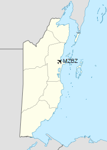
| Location |
Ladyville |
| Hub for |
- Tropic Air
- Maya Island Air
|
| Elevation AMSL |
5 m / 16 ft |
| Coordinates |
17°32′21″N
088°18′30″W |
| Website |
http://www.pgiabelize.com/ |
| Map |
|
|
| Runways |
| Direction |
Length |
Surface |
| m |
ft |
| 07/25 |
2,950 |
9,678 |
Asphalt |
|
| Statistics (2016) |
| Passengers |
867,976 |
| Aircraft movements |
30,414 |
|
Military use
Philip Goldson International Airport, Belize
Due to the Belizean–Guatemalan territorial dispute, Philip S. W. Goldson International Airport, (formerly Belize International Airport) has hosted several military units over the years since its construction. In 1984, a senior US Air Force General stated that it was «the best defended airfield in Central America». Most notable residents have been Headquarters British Forces Belize, No. 1417 (Tactical Ground Attack) Flight RAF operating Harrier Jump Jets, No. 1563 (Helicopter support) Flight RAF, resident Anti-Aircraft Squadrons of the RAF Regiment, resident helicopter units of the Army Air Corps, HarDet Belize, Butcher Radar and Belize Defence Forces, among others. Price Barracks is a military installation located just north of the airport, which was formerly known as Airport Camp, the Headquarters of British Forces Belize.
Airlines and destinations
Passenger
| Destinations |
| Air Canada Rouge |
Seasonal: Toronto–Pearson |
| American Airlines |
Dallas/Fort Worth, Los Angeles, Miami
Seasonal: Charlotte |
| Avianca El Salvador |
San Salvador |
| Copa Airlines |
Panama City–Tocumen |
| Delta Air Lines |
Atlanta |
| Maya Island Air |
Cancún, Caye Caulker, Caye Chapel, Corozal, Dangriga, Placencia, Punta Gorda, San Pedro, San Pedro Sula |
| Southwest Airlines |
Fort Lauderdale, Houston–Hobby
Seasonal: Denver |
| Sun Country Airlines |
Seasonal: Minneapolis/St. Paul |
| Transportes Aéreos Guatemaltecos |
Cancún, Flores, Guatemala City |
| Tropic Air |
Belize City–Municipal, Cancún, Caye Caulker, Chetumal, Corozal, Dangriga, Flores, Mérida, Placencia, Punta Gorda, Roatán, San Ignacio, San Pedro, San Pedro Sula |
| United Airlines |
Chicago–O’Hare, Houston–Intercontinental
Seasonal: Newark |
| WestJet |
Seasonal: Calgary, Toronto–Pearson |
Cargo
| Destinations |
| Amerijet International |
Cancun, Ciudad del Carmen, Mérida, Miami |
Future plans
Philip S. W. Goldson International Airport will have railway access from proposed Belize City railway station.
The above content comes from Wikipedia and is published under free licenses – click here to read more.
| General Info
|
| Country |
Belize
|
| ICAO ID |
MZBZ
|
| Time |
UTC-6
|
| Latitude |
17.539144
17° 32' 20.92" N
|
| Longitude |
-88.308203
088° 18' 29.53" W
|
| Elevation |
15 feet
5 meters
|
| Type |
Civil
|
| Magnetic Variation |
001° E (05/06)
|
| Operating Agency |
CIVIL GOVERNMENT, (LANDING FEES AND DIPLOMATIC CLEARANCE MAY BE REQUIRED)
|
| Alternate Name |
BELIZE INTL
|
| Near City |
Belize
|
| Operating Hours |
SEE REMARKS FOR OPERATING HOURS OR COMMUNICATIONS FOR POSSIBLE HOURS
|
| International Clearance Status |
Airport of Entry
|
| Communications
|
| BELIZE TWR |
118.0
|
| BELIZE RDO |
126.9
|
| GND |
121.9
|
| BELIZE APP |
121.0
|
| Runways
|
| ID |
Dimensions |
Surface |
PCN |
ILS
|
| 07/25 |
7100 x 150 feet
2164 x 46 meters |
ASPHALT |
061FCWU |
NO
|
| Navaids
|
| Type |
ID |
Name |
Channel |
Freq |
Distance From Field |
Bearing From Navaid
|
| VOR-DME |
BZE |
BELIZE |
090X |
114.3 |
At Field |
-
|
| NDB |
BZE |
BELIZE |
- |
392 |
At Field |
-
|
| Supplies/Equipment
|
| Fuel |
Jet A1, without icing nhibitor.
100/130 MIL Spec, low lead, aviation gasoline (BLUE)
|
| Remarks
|
| CAUTION |
153' water tank 800' N of Rwy. 400' antenna 4.8NM on 317 bearing equipped with strobe and obst lights.
|
| FUEL |
A1 (Avbl 1200-2400Z. Belize Refueling Svc, C501-225-2156, After Hrs Fee $30/hr, $60 min C 501-610-2273, PN req dur nml bus hrs) (NC-100LL)
|
| OPR HOURS |
Opr 1200-2400Z, OT O/R.
|
The content above was published at Airports-Worldwide.com in 2019.
We don't guarantee the information is fresh and accurate. The data may be wrong or outdated.
For more up-to-date information please refer to other sources.
|
|