|
|
Exuma International Airport |
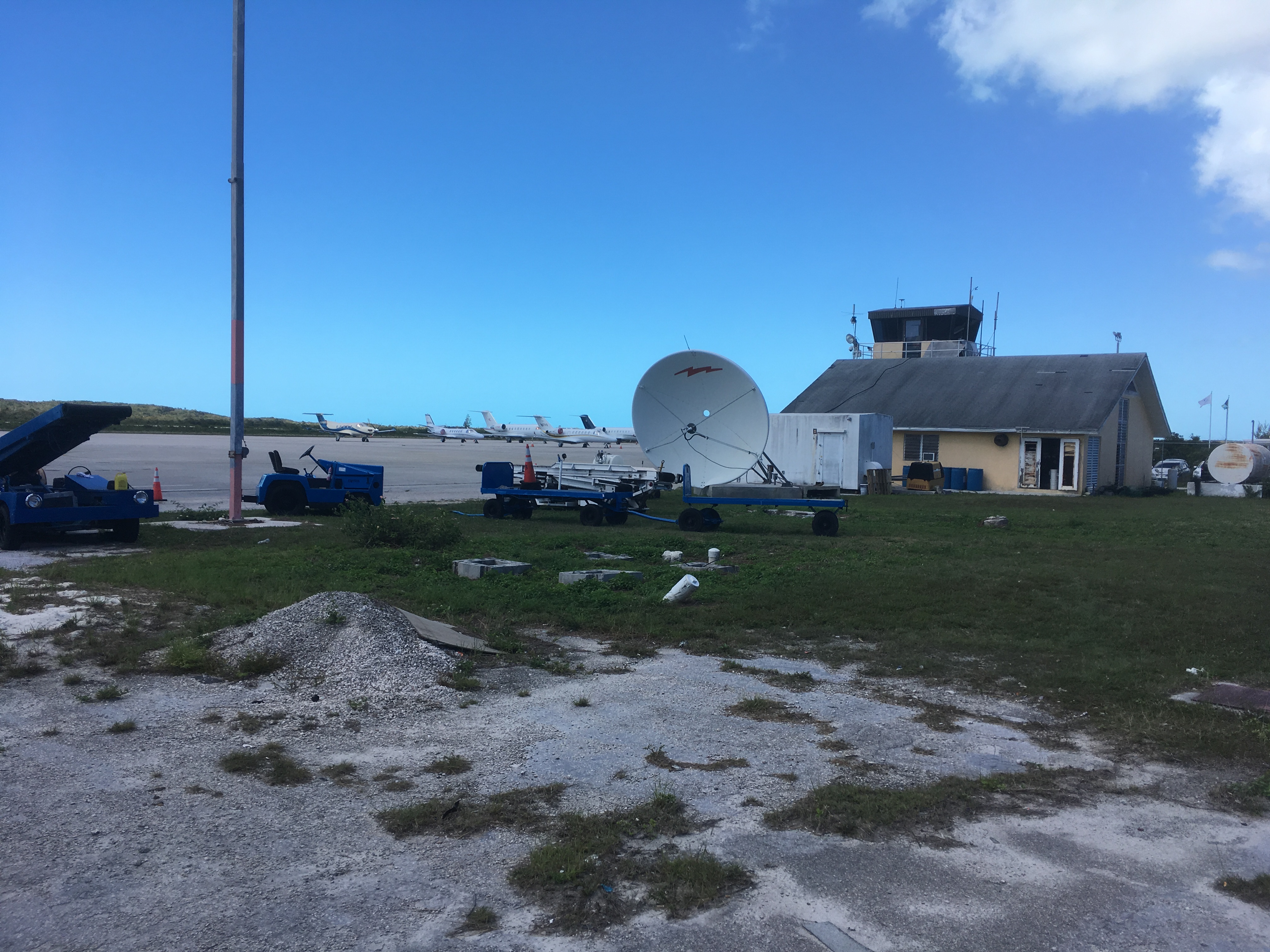
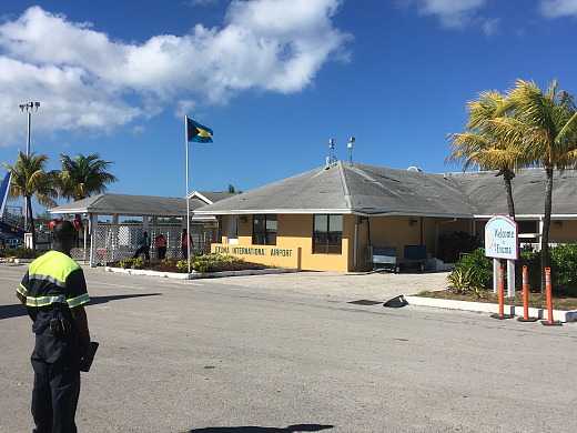
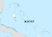
Exuma International Airport (IATA: GGT, ICAO: MYEF) is a public airport serving the island of Great Exuma in the Bahamas. It is located near Moss Town, northwest of George Town. The airport services mainly light aircraft and regional jets from the United States and The Bahamas.
|
Exuma International Airport
|
Exuma International Airport Departures Building in February 2019
|
|
|
| Summary |
| Airport type |
Public |
| Serves |
Great Exuma, Bahamas |
| Location |
Moss Town |
| Elevation AMSL |
9 ft / 3 m |
| Coordinates |
23°33′48″N
075°52′23″W |
| Website |
exumainternational.com |
| Map |
|
|
| Runways |
| Direction |
Length |
Surface |
| m |
ft |
| 12/30 |
2,149 |
7,051 |
Asphalt |
|
| |
Facilities
The airport is at an elevation of 9 ft (2.7 m) above mean sea level. It has one runway designated 12/30 with an asphalt surface measuring 2,149 m × 46 m (7,051 ft × 151 ft).
As of May 2020, there was one terminal and boarding area at the commercially-served airport. For general aviation, Odyssey Aviation operates an FBO with direct access to the ramp. The Bahamian government has designated Exuma International Airport as an important part of the Bahamian tourism economy and made plans to further develop the airport with a budget of $44 million dollars.
Airlines and destinations
Passenger
| Destinations |
| Air Canada |
Seasonal: Toronto–Pearson |
| American Eagle |
Miami
Seasonal: Charlotte |
| Bahamasair |
Nassau, Rock Sound |
| Delta Connection |
Atlanta |
| Silver Airways |
Seasonal: Fort Lauderdale |
| SkyBahamas Airlines |
Nassau |
| Western Air |
Nassau |
The above content comes from Wikipedia and is published under free licenses – click here to read more.
| General Info
|
| Country |
Bahamas, The
|
| ICAO ID |
MYEF
|
| Time |
UTC-5 (-4DT)
|
| Latitude |
23.562631
23° 33' 45.47" N
|
| Longitude |
-75.877958
075° 52' 40.65" W
|
| Elevation |
9 feet
3 meters
|
| Magnetic Variation |
008° W (05/06)
|
| Operating Agency |
CIVIL GOVERNMENT, (LANDING FEES AND DIPLOMATIC CLEARANCE MAY BE REQUIRED)
|
| Island Group |
Exuma I
|
| Operating Hours |
SUNRISE TO SUNSET (SR-SS)
|
| International Clearance Status |
Airport of Entry
|
| Daylight Saving Time |
Second Sunday in March at 0200 to first Sunday in November at 0200 local time (Exception Arizona and that portion of Indiana in the Eastern Time Zone)
|
| Communications
|
NASSAU RDO
H24
|
124.4
|
NASSAU APP
H24
|
127.6
|
| AFIS |
118.0
|
| Communications Remarks |
|
| RDO |
(RCO)
|
| Runways
|
| ID |
Dimensions |
Surface |
PCN |
ILS
|
| 12/30 |
7051 x 150 feet
2149 x 46 meters |
ASPHALT |
- |
NO
|
| Supplies/Equipment
|
| Fuel |
Jet A1, without icing nhibitor.
100/130 octane gasoline, leaded, MIL-L-5572F (GREEN)
|
| Remarks
|
| FUEL |
(NC-100LL,A1)
|
| LGT |
PAPI Rwy 12-30 GS 3.25
|
| OPR HOURS |
Opr SR-SS.
|
The content above was published at Airports-Worldwide.com in 2020.
We don't guarantee the information is fresh and accurate. The data may be wrong or outdated.
For more up-to-date information please refer to other sources.
|
|