|
 |
|
||||
|
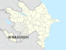
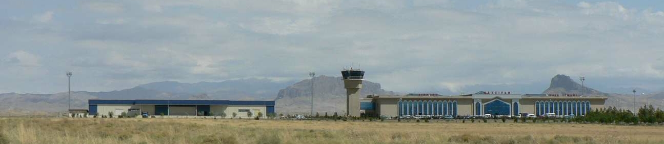
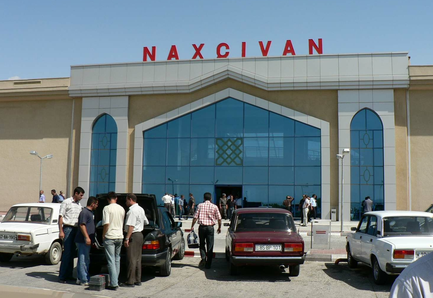
Nakhchivan International Airport (Azerbaijani: Naxçıvan Beynəlxalq Hava Limanı) (IATA: NAJ, ICAO: UBBN) is a civilian airport and Azeri military airbase located in Nakhchivan, the capital of the Nakhchivan Autonomous Republic, a landlocked exclave of Azerbaijan. The airport was built in the 1970s.
|
||||||||||||||||||||||||||||||||||||||||||||||||||||||||||||||||||||||||||||||||||||||||||||||||||||||||||||||||||||||||||||||||||||||||||||||||||||||||||||||||||||||||||||||||||||||||||||||||||||||||||||||||||||
| Airlines | Destinations |
|---|---|
| Azerbaijan Airlines | Baku |
| Turkish Airlines | Ganja, Istanbul |
| Utair | Moscow–Vnukovo |
| Passengers | Change from previous year | Aircraft operations | Change from previous year | Cargo (metric tons) |
Change from previous year | |
|---|---|---|---|---|---|---|
| 2012 | 426,848 |
N.D. |
3,685 |
N.D. |
1,293 |
N.D. |
| 2013 | 501,690 |
+17.53% |
4,000 |
+ 8.55% |
1,629 |
+25.99% |
| 2014 | 526,155 |
+ 4.88% |
4,224 |
+ 5.60% |
1,342 |
-17.62% |
| Source: Airports Council International. World Airport Traffic Reports (Years 2012, 2013, and 2014) |
||||||
| General Info | |
|---|---|
| Country | Azerbaijan |
| ICAO ID | UBBN |
| Time | UTC+4(+5DT) |
| Latitude | 39.188806 39° 11' 19.70" N |
| Longitude | 45.458442 045° 27' 30.39" E |
| Elevation | 2863 feet 873 meters |
| Type | Joint (Civil and Military) |
| Magnetic Variation | 005° E (05/06) |
| Operating Agency | MILITARY - CIVIL JOINT USE AIRPORT |
| Operating Hours | 24 HOUR OPERATIONS |
| Daylight Saving Time | Last Sunday in March to last Sunday in October |
| Communications | |
|---|---|
| TWR | 118.2 |
| ATIS | 127.5 |
| APP | 118.2 |
| Communications Remarks | |
| ATIS | ATIS RUS/ENG |
| Runways | ||||
|---|---|---|---|---|
| ID | Dimensions | Surface | PCN | ILS |
| 14R/32L | 10826 x 148 feet 3300 x 45 meters |
CONCRETE. | 150RAWT | NO |
| 14L/32R | 10826 x 138 feet 3300 x 42 meters |
ASPHALT | 040FBXT | NO |
| Navaids | ||||||
|---|---|---|---|---|---|---|
| Type | ID | Name | Channel | Freq | Distance From Field | Bearing From Navaid |
| NDB | NT | NAKHCHIVAN | - | 680 | 3.0 NM | 137.2 |
| Remarks | |
|---|---|
| FUEL | (NC-TS1) |
The content above was published at Airports-Worldwide.com in 2020.
We don't guarantee the information is fresh and accurate. The data may be wrong or outdated.
For more up-to-date information please refer to other sources.

 |
|
Copyright 2004-2026 © by Airports-Worldwide.com, Vyshenskoho st. 36, Lviv 79010, Ukraine Legal Disclaimer |