SEE REMARKS FOR OPERATING
HOURS OR COMMUNICATIONS FOR POSSIBLE HOURS
Communications
TWR Opr HO.
118.5
372.0
GND
267.0
PERTH RADAR Outside Twr hrs
135.25
CTAF
118.5
PEARCE APP Opr HO.
130.2
Communications Remarks
FSS
(circuit area)
TWR
(372T Voice trans only to acft with com failure.)
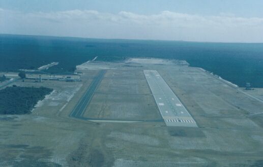
Runways
ID
Dimensions
Surface
PCN
ILS
08/26
5997 x 148 feet 1828 x 45 meters
ASPHALT
011FAWT
NO
Navaids
Type
ID
Name
Channel
Freq
Distance From Field
Bearing From Navaid
NDB
GIG
GINGIN
-
372
At Field
-
Supplies/Equipment
Fuel
Jet A1+, Jet A1 with icing inhibitor.
100/130 MIL Spec, low lead, aviation gasoline (BLUE)
Other Fluids
LOX, Liquid oxygen servicing
OX, Indicates oxygen servicing when type of servicing is unknown
Remarks
A-GEAR
SAFE-BAR up for Hawk and S211 acft.
CAUTION
Lgt signal may not be vis under hi ambient lgt cond. Animal haz.
FUEL
(NC-100LL, A1+) PN to Pearce C089-571-7542.
JASU
PN to Pearce C089-571-7114.
OPR HOURS
Opr 0100-0830Z Mon-Thu; 0100-0630Z Fri.
RSTD
PPR civil acft. Not avbl to acft abv 33,000 lb GWT.
TFC PAT
Rwy 08 rgt circuits.
Runway 08/26
5997 x 148 feet
1828 x 45 meters
Runway 08
Surface
ASPHALT
True Heading
075.0
Latitude
-31.466489 31° 27' 59.36" S
Longitude
115.853731 115° 51' 13.43" E
Elevation
247.0 feet 75 meters
Slope
-0.1°
Landing Distance
5997 feet 1828 meters
Takeoff Distance
6997 feet 2133 meters
Overrun Length
1000 feet 305 meters
Overrun Surface
GRADED OR ROLLED EARTH, GRASS ON GRADED EARTH.
Lighting System
LIRL
Runway 26
Surface
ASPHALT
True Heading
255.0
Latitude
-31.462219 31° 27' 43.99" S
Longitude
115.872314 115° 52' 20.33" E
Elevation
243.0 feet 74 meters
Slope
0.1°
Landing Distance
5997 feet 1828 meters
Takeoff Distance
6997 feet 2133 meters
Overrun Length
1000 feet 305 meters
Overrun Surface
GRADED OR ROLLED EARTH, GRASS ON GRADED EARTH.
Lighting System
LIRL
Navaids
GINGIN
Type
ID
Channel
Freq
Country
State
NDB
GIG
-
372
Australia
-
Latitude
Longitude
Airport
-31.459722 31° 27' 35.00" S
115.865556 115° 51' 56.00" E
YGIG
The content above was published at Airports-Worldwide.com in 2004-2006.
We don't guarantee the information is fresh and accurate. The data may be wrong or outdated.
For more up-to-date information please refer to other sources.