 |
|
Marambio Airport (ICAO: SAWB) is an airport serving Marambio Base, an Argentinian research station on Seymour Island in the Antarctic Peninsula. Marambio is the main air-support node for most local and foreign stations in Argentine Antarctica, providing year-round medical evacuation, search and rescue, personnel, cargo, and mail transfer.
Marambio Airport |
|---|
Marambio's runway looking northeast. Photo by JonySniuk. CC BY-SA 3.0.
| |
|
|
| Airport type | Public/Military |
|---|
| Operator | Government of Argentina |
| Serves | Marambio Base |
|---|
| Location |
Seymour Island |
|---|
| Elevation AMSL |
760 ft / 232 m |
|---|
| Coordinates |
64°14′22″S 56°37′50″W / 64.23944°S 56.63056°W
|
|---|
|

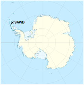
Location of the airport in Antarctica
|
| Direction
|
Length
|
Surface
|
| m
|
ft
|
| 05/23
01/19
|
1,260x35
1,600x40
|
4,118x115
5,249x131
|
Graded earth
Graded earth
|
|
Supplies are taken to the Marambio Base during the whole year for later distribution to other Argentine bases (except for Belgrano II). There are over 100 intercontinental flights every year.
Facilities
The airport control tower is 12 m (39 ft) high. The runway is lined with strobe lights. The parking apron provides large cargo aircraft like the Hercules C-130 with access to fuel and concurrent services.
There is a hangar for the Argentine Air Force de Havilland Canada DHC-6 Twin Otter that routinely operates from the base along with two Bell 212s that are deployed during the summer campaigns to support scientific activities and link to other Argentine bases.

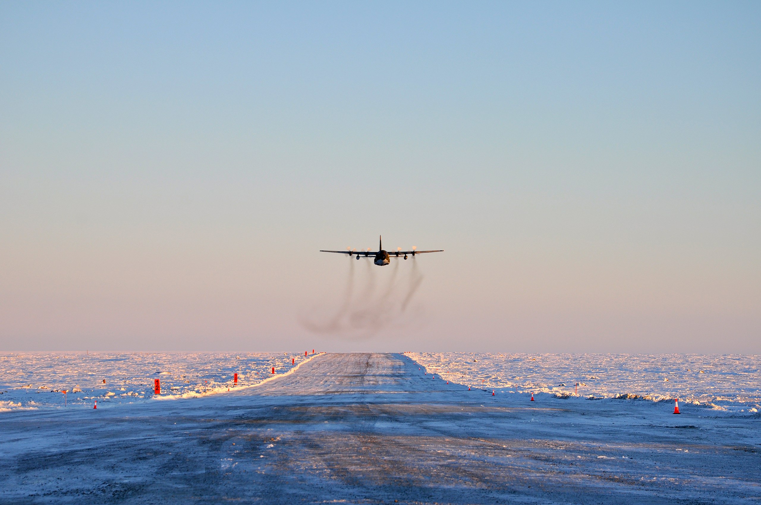
A C-130 Hercules over the airstrip. Casa Rosada (Argentina Presidency of the Nation). CC BY 2.5 ar.
Text from Wikipedia is available under the Creative Commons Attribution/Share-Alike License; additional terms may apply.
| General Info
|
| Country |
Antarctica
|
| ICAO ID |
SAWB
|
| Time |
UTC-4
|
| Latitude |
-64.238335
64° 14' 18.01" S
|
| Longitude |
-56.630833
056° 37' 51.00" W
|
| Elevation |
760 feet
232 meters
|
| Magnetic Variation |
011° E (05/06)
|
| Operating Agency |
MILITARY
|
| Island Group |
Seymour I
|
| Operating Hours |
SEE REMARKS FOR OPERATING HOURS OR COMMUNICATIONS FOR POSSIBLE HOURS
|
| Communications
|
| MARAMBIO TWR |
118.1
118.5
|
| Runways
|
| ID |
Dimensions |
Surface |
PCN |
ILS
|
| 06/24 |
4134 x 115 feet
1260 x 35 meters |
GRADED OR ROLLED EARTH, GRASS ON GRADED EARTH. |
- |
NO
|
| Navaids
|
| Type |
ID |
Name |
Channel |
Freq |
Distance From Field |
Bearing From Navaid
|
| VOR-DME |
MBI |
MARAMBIO |
117X |
117 |
At Field |
-
|
| NDB |
MBI |
MARAMBIO |
- |
345 |
At Field |
-
|
| Supplies/Equipment
|
| Fuel |
Jet A1+, Jet A1 with icing inhibitor.
JP-4, Wide cut turbine fuel MIL Spec T-5624
100/130 octane gasoline, leaded, MIL-L-5572F (GREEN)
|
| Remarks
|
| OPR HOURS |
Opr daylt hr.
|
The content above was published at Airports-Worldwide.com in 2023.
We don't guarantee the information is fresh and accurate. The data may be wrong or outdated.
For more up-to-date information please refer to other sources.
|
 |


