|
|
Benguela Airport (Portuguese: Aeroporto de Benguela — 17 de Setembro) (IATA: BUG, ICAO: FNBG) is an airport serving Benguela, the capital city of Benguela Province in Angola.
The Benguela non-directional beacon (Ident: BG) is located on the field.
|
Benguela Airport
Gen. V. Deslandes Airport
|
|
|
| Summary |
| Airport type |
Public |
| Operator |
Government |
| Serves |
Benguela, Angola |
| Elevation AMSL |
118 ft / 36 m |
| Coordinates |
12°36′30″S
13°24′10″E |
| Map |
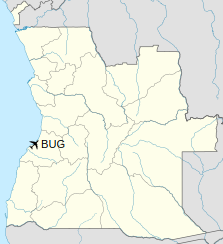
Location of airport in Angola
|
| Runways |
| Direction |
Length |
Surface |
| m |
ft |
| 14/32 |
1,597 |
5,240 |
Asphalt |
|
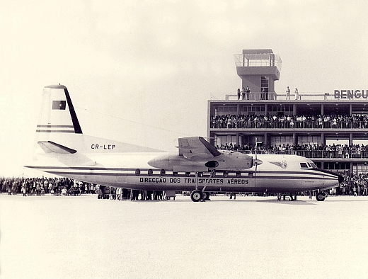
Benguela Airport in 1965
Airline and destination
| Destinations |
| Fly Angola |
Luanda |
The above content comes from Wikipedia and is published under free licenses – click here to read more.
| General Info
|
| Country |
Angola
|
| ICAO ID |
FNBG
|
| Time |
UTC+1
|
| Latitude |
-12.609025
12° 36' 32.49" S
|
| Longitude |
13.403711
013° 24' 13.36" E
|
| Elevation |
118 feet
36 meters
|
| Magnetic Variation |
007° W (05/06)
|
| Beacon |
Yes
|
| Operating Agency |
CIVIL GOVERNMENT, (LANDING FEES AND DIPLOMATIC CLEARANCE MAY BE REQUIRED)
|
| Operating Hours |
SUNRISE TO SUNSET (SR-SS)
|
| Communications
|
| AFIS |
118.7
|
| Runways
|
| ID |
Dimensions |
Surface |
PCN |
ILS
|
| 14/32 |
5315 x 100 feet
1620 x 30 meters |
ASPHALT |
- |
NO
|
| Navaids
|
| Type |
ID |
Name |
Channel |
Freq |
Distance From Field |
Bearing From Navaid
|
| NDB |
BG |
BENGUELA |
- |
372 |
At Field |
-
|
| Supplies/Equipment
|
| Fuel |
Jet fuel avaiable but type is unknown.
100/130 MIL Spec, low lead, aviation gasoline (BLUE)
|
| Remarks
|
| FUEL |
(NC-100LL, J)
|
| OPR HOURS |
Opr SR-SS.
|
The content above was published at Airports-Worldwide.com in 2020.
We don't guarantee the information is fresh and accurate. The data may be wrong or outdated.
For more up-to-date information please refer to other sources.
|
|